

NextGIS LLC
Geomatics engineering services — geodesy, GIS, remote sensing, topographic and cadastral mapping
Geodesy + GIS + Development
NextGIS LLC is a professional company working in geodesy, mapping and information technology. Since 2011 we have delivered surveying, mapping and software projects across Mongolia.
Using modern technology, we provide a wide range of services including GNSS CORS networks, GIS systems, topographic and cadastral mapping, and drone mapping.
Contact us
Our services
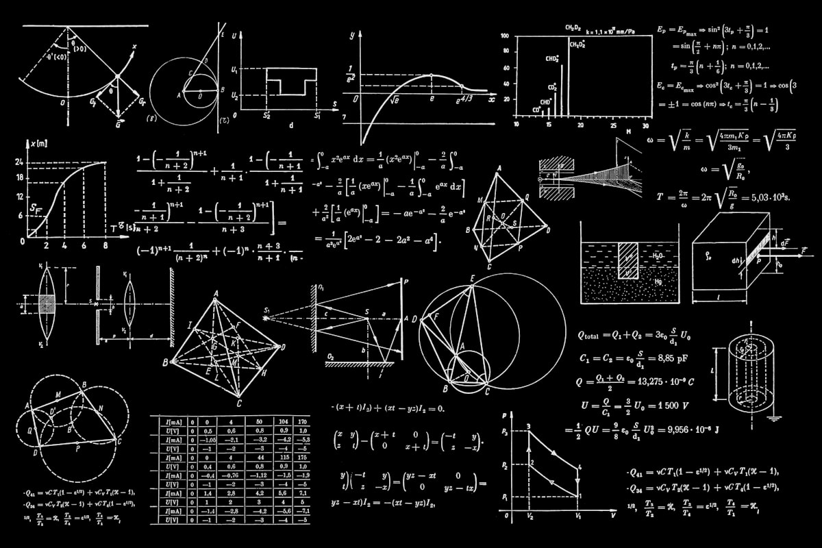
Geodesy
Geodetic surveys, coordinate determination and high-precision measurements.
GNSS CORS network
A network of continuously operating GNSS reference stations — the Monpos system.
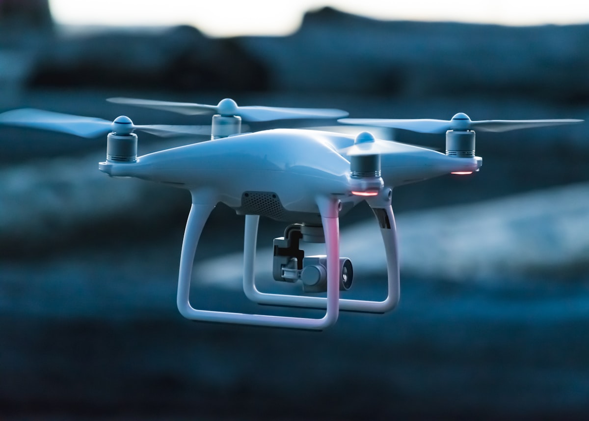
Drone mapping
UAV aerial mapping, orthophoto and digital surface model (DSM) production.

Cadastral mapping
Cadastral mapping and land parcel surveys.

GIS solutions
Geographic information system development and web GIS platforms.

Software development
Web systems, mobile applications and database development.
Our principles
Fair competition
- We do not accept requests to alter measurement results without technical grounds.
- We do not misrepresent certified reports and data.
Data confidentiality
- We handle personal data lawfully and responsibly.
- Unauthorized access, loss, deletion, misuse, alteration or disclosure of personal data is prohibited.
- We never share confidential information that could affect our clients' business.
Lawful partnerships
- We work only with partners free of fraud, corruption and unlawful activity.
- We act in the public interest and in line with engineering ethics.
- We fulfil our contractual obligations strictly.
Contact us
Office
+976 7711 2307Address
Room 215, Mongol Tulkhuur office, 1st khoroo, Bayangol district, Ulaanbaatar 210644, Mongolia